
WMO Warns of Record-Strength El Niño, Global Heat and Shifting Rainfall Patterns
The World Meteorological Organization says El Niño is strengthening rapidly and could become one of the strongest events since 1950. Niño 3.4 temperatures may reach a record 3.7°C above normal by December. The event is expected to raise global temperatures and alter rainfall patterns, increasing drought and flood risks.

 Join the RuralVoice whatsapp group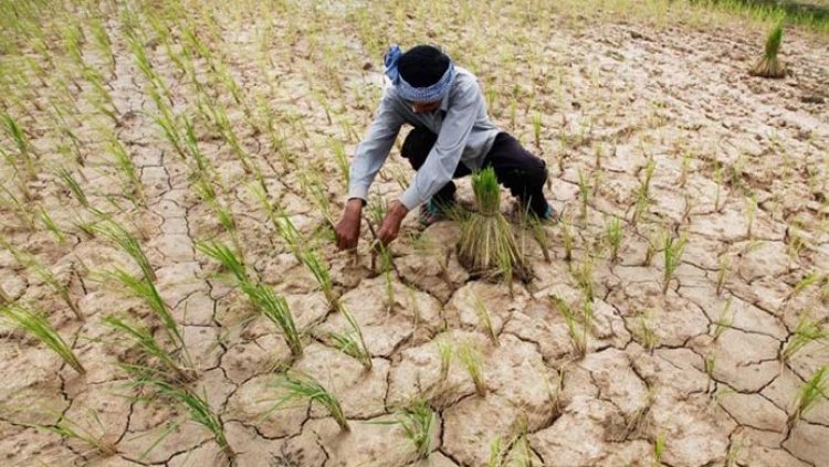
The strengthening El Niño event is expected to intensify global heat and significantly alter rainfall patterns during October-December 2026, increasing the risk of droughts and floods across different regions, according to the World Meteorological Organization (WMO).
In its latest Global Seasonal Climate Update, released on October 8, WMO said sea-surface temperatures in the central and eastern tropical Pacific are forecast to rise to record levels during October-November-December. The El Niño event is expected to reach its peak in December.
WMO Secretary-General Celeste Saulo said there is a near-100 per cent likelihood that El Niño will persist through February 2027 and warned that it could potentially become one of the strongest events recorded since at least 1950.
The Niño 3.4 index, which measures sea-surface temperature anomalies in the central-eastern equatorial Pacific, rose sharply from an average 1.6°C above normal in June to 2.5°C above normal in August 2026. For October-December, the seasonal average anomaly is forecast at about 3.7°C, with the peak expected around December. This would surpass the previous record of 2.6°C recorded during November 2015-January 2016.
WMO said the forecast is based on a consensus among 13 national and international climate prediction centres, using ocean buoy, satellite and radiosonde observations coordinated through the organisation.
The strengthening El Niño is also expected to influence global temperatures. WMO said there is an overwhelming likelihood of above-average temperatures across large parts of the world during October-December. While this does not mean every location will experience above-normal temperatures every day, the strong seasonal signal increases the likelihood of heat extremes and related impacts.
Rainfall patterns are also expected to shift substantially. Wetter-than-normal conditions are forecast across the central and eastern equatorial Pacific, the Greater Horn of Africa, parts of Central Asia and coastal East Asia, northern parts of the Arabian Peninsula, parts of North America south of 45°N and southeastern South America.
In contrast, drier conditions are forecast across the western Pacific and equatorial Atlantic, extending through parts of the South Pacific to southern South America. The Indian subcontinent, southern Central America, parts of the Caribbean and northwestern South America are also expected to experience below-normal rainfall.
A positive Indian Ocean Dipole is forecast to peak in October before declining, while equatorial Atlantic sea-surface temperatures are expected to remain above normal.
WMO said its members and national meteorological agencies are strengthening preparedness measures and providing regular updates to governments, humanitarian agencies and other decision-makers to help manage the potential impacts of the El Niño event.