What is the Digital Agriculture Mission, and How Will it Work?
The Digital Agriculture Mission is designed as an umbrella scheme to support various digital agriculture initiatives. These include creating Digital Public Infrastructure (DPI), implementing the Digital General Crop Estimation Survey (DGCES), and supporting IT initiatives by the Central Government, State Governments, and Academic and Research Institutions.

 Join the RuralVoice whatsapp group
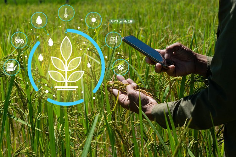
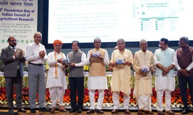
The Union Cabinet Committee, chaired by Prime Minister Narendra Modi, has approved the groundbreaking 'Digital Agriculture Mission,' with a financial outlay of Rs. 2,817 crore, including a central government share of Rs. 1,940 crore. This mission is poised to bring the benefits of India's digital revolution to the agricultural sector, transforming it into a more efficient, transparent, and farmer-centric industry.
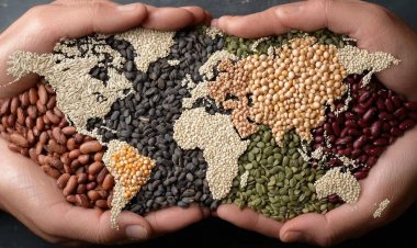
Digital Transformation in Agriculture
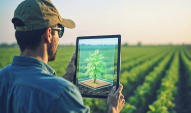
In recent years, India's digital revolution has transformed governance and service delivery by creating digital identities, and secured payments and transactions. Building on this success, the Digital Agriculture Mission aims to replicate these advancements in agriculture by creating Digital Public Infrastructure (DPI) for the sector. This initiative is part of a broader strategy, announced in the Union Budget of 2024-25, to revolutionize agricultural practices and service delivery through technology.
Core Components and Strategic Goals
The Digital Agriculture Mission is designed as an umbrella scheme to support various digital agriculture initiatives. These include creating Digital Public Infrastructure (DPI), implementing the Digital General Crop Estimation Survey (DGCES), and supporting IT initiatives by the Central Government, State Governments, and Academic and Research Institutions.
The Digital Public Infrastructure (DPI) for Agriculture aims to provide comprehensive and useful data on farmers, comprising authenticated demographic details, land holdings, and crops sown. It will include cultivators and tenant farmers, as per the policy of the State Government. It will also connect to relevant Digital Public Infrastructure of the State Governments and Ministries of the Government of India to use data on farmers related to livestock, fisheries, soil health, other vocations, family details, and schemes and benefits availed, leading to innovative farmer-centric digital services in the agriculture sector.
The three main DPIs to be developed under this mission are AgriStack, the Krishi Decision Support System (DSS), and Soil Profile Mapping. These components will enable the integration of data on farmers, crops, soil, and weather into a comprehensive digital framework, enhancing decision-making and service delivery.
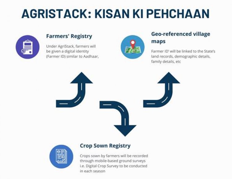
AgriStack: A Farmer-Centric DPI
AgriStack is designed as a farmer-centric Digital Public Infrastructure (DPI) to streamline services and scheme delivery to farmers. It comprises three key components: the Farmers’ Registry, geo-referenced village maps, and the Crop Sown Registry, all created and maintained by the State Governments/Union Territories.
Under AgriStack, farmers will be given a digital identity (Farmer ID) similar to Aadhaar. This ‘Farmer ID’ will be linked dynamically to the State’s land records, livestock ownership, crops sown, demographic details, family details, schemes and benefits availed etc. Crops sown by farmers will be recorded through mobile-based ground surveys i.e. Digital Crop Survey to be conducted in each season.
The implementation of AgriStack is progressing through partnerships between the Central and State Governments, with 19 states having signed MoUs with the Ministry of Agriculture.
Key targets include:
- Creating digital identities for 11 crore farmers over three years.
- Launching the Digital Crop Survey nationwide within two years, covering 400 districts in FY 2024-25 and all districts in FY 2025-26.
Krishi Decision Support System (DSS)
The Krishi Decision Support System (DSS) will integrate remote sensing data on crops, soil, weather, and water resources into a comprehensive geospatial system. This system will support crop mapping, disaster monitoring, and yield assessment, enhancing the accuracy of crop production estimates and improving the efficiency of service delivery.
Soil Profile Mapping
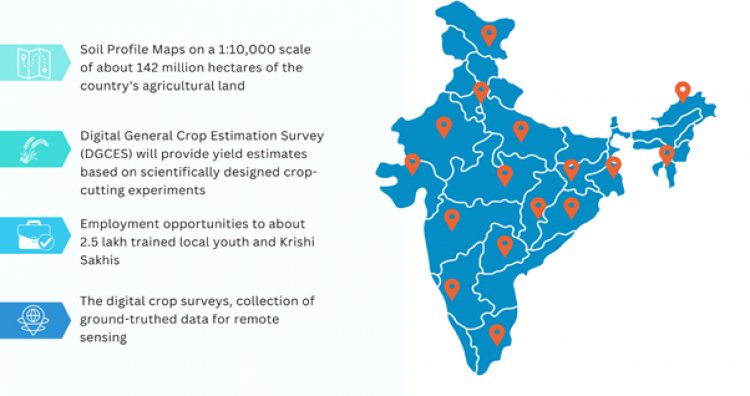
Under the Digital Agriculture Mission, detailed Soil Profile Maps on a 1:10,000 scale for about 142 million hectares of the country's agricultural land are envisaged to be completed. A detailed soil profile inventory for about 29 million hectares has already been completed.
The Digital General Crop Estimation Survey (DGCES)
The Digital General Crop Estimation Survey (DGCES) will provide yield estimates based on scientifically designed crop-cutting experiments. This initiative will prove very useful in making accurate estimates of agricultural production.
Employment Opportunities and Technological Integration
The Digital Agriculture Mission is expected to create direct and indirect employment in agriculture, providing opportunities for around 2,50,000 trained local youth and Krishi Sakhis. By leveraging modern technologies like data analytics, AI, and remote sensing, the mission will improve service delivery for farmers, including streamlined access to government schemes, crop loans, and real-time advisories.
Key Benefits of the Mission
The Digital Agriculture Mission focuses on grassroots implementation, targeting farmers as the primary beneficiaries.
- Digital Authentication: Farmers will be able to digitally identify and authenticate themselves to access services and benefits, reducing paperwork and the need for physical visits.
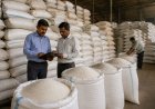
- Enhanced Transparency: The trusted data would help government agencies make schemes and services more efficient and transparent, such as paperless MSP-based procurement, crop insurance, and credit card-linked crop loans, and develop systems for the balanced use of fertilizers, etc.
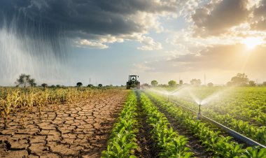
- Digitally Captured Data: Digitally captured data on crop-sown areas, along with Digital General Crop Estimation Survey-based yield and remote-sensing data, will help in accurate crop production estimation. It will also help facilitate crop diversification and evaluate irrigation needs according to the crop and season.
- Disaster Response: Improved crop map generation for identifying crop sown patterns, drought/flood monitoring, and technology/model-based yield assessment for settling crop insurance claims.
- Optimized Value Chains: Development of digital public infrastructure to optimize value chains and provide tailored advisory services for crop planning, health, pest management, and irrigation.
The DPI for Agriculture forms the core of the Digital Agriculture Mission, aligned with the vision of Viksit Bharat@2047. This initiative will integrate with the digital infrastructures of state governments and various ministries to provide comprehensive and useful data on farmers, including demographic details, land holdings, and crops sown.