WMO Update: El Niño to Intensify Rapidly, Raising Global Risks of Heatwaves, Droughts and Extreme Rainfall
The World Meteorological Organization (WMO) has warned that El Niño has developed and is expected to strengthen into a strong event by September 2026. The phenomenon is likely to increase the frequency of heatwaves, droughts, heavy rainfall and marine heatwaves, with significant impacts on agriculture, water resources and food security worldwide.

 Join the RuralVoice whatsapp group
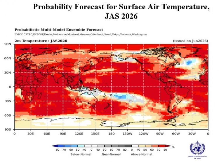
The World Meteorological Organization (WMO) has warned that El Niño conditions have developed in the tropical Pacific and are expected to intensify rapidly into a strong event over the next few months, increasing the likelihood of heatwaves, droughts, heavy rainfall and other extreme weather events across large parts of the world.
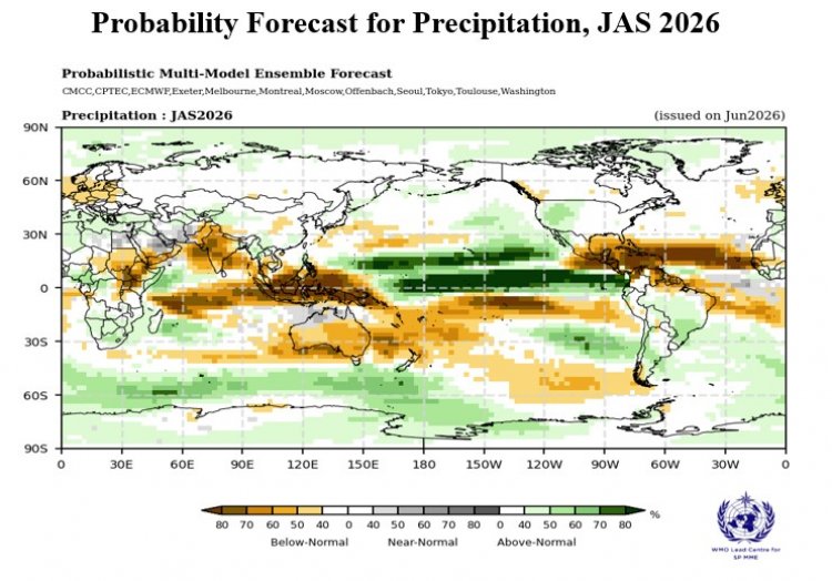
According to WMO's latest Global Seasonal Climate Update, climate models indicate a rapid transition to a strong El Niño during the July-September 2026 period, with sea surface temperatures in the central and eastern equatorial Pacific projected to rise more than 2°C above normal in key monitoring regions. Forecasts from leading global climate centres show remarkable agreement, giving scientists high confidence in the outlook.
"El Niño conditions are already underway and are forecast to strengthen rapidly into a strong event—as accurately anticipated by WMO forecasts. This will intensify the chances of drought and heavy rainfall and the risk of heatwaves on land and marine heatwaves in many regions of the world," said WMO Secretary-General Celeste Saulo.
The agency said El Niño is expected to continue strengthening through the Northern Hemisphere autumn, extending its influence across many regions, while the equatorial Atlantic Ocean is also forecast to remain warmer than average.
Higher Risks for Agriculture and Food Production
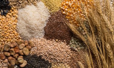
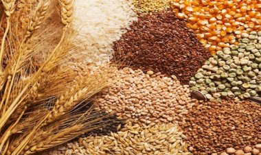
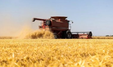
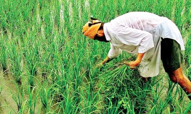
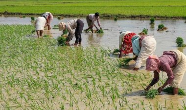
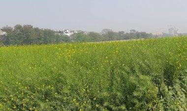
The development of a strong El Niño carries significant implications for global agriculture, as shifting rainfall patterns and rising temperatures can disrupt crop production, livestock management and water availability. Regions dependent on seasonal rainfall, including parts of Asia, Africa and Australia, could face increased agricultural stress if below-normal rainfall persists.
Above-Normal Temperatures Across Most Regions
The Global Seasonal Climate Update projects an overwhelming probability of above-average temperatures across nearly all populated land areas between 60°S and 60°N during the July-September period.
Ocean temperatures are also expected to remain above normal across the equatorial Pacific, the Indian Ocean and the tropical Atlantic. More than 80% probability of above-normal sea surface temperatures has been forecast for the equatorial Pacific east of the International Date Line. In contrast, parts of the North Atlantic are likely to experience near- or below-normal ocean temperatures.
Rainfall Patterns to Shift Worldwide
The rainfall outlook reflects the strengthening El Niño pattern, with above-normal rainfall expected across the central and eastern equatorial Pacific. Conversely, below-normal rainfall is forecast for parts of the tropical Indian Ocean, the Indian subcontinent and much of Australia, raising concerns over water availability and crop performance.
In Africa, rainfall is expected to show a sharp regional contrast, with wetter-than-normal conditions around the northern Gulf of Guinea, while the Greater Horn of Africa is likely to experience below-normal rainfall.
WMO also forecasts drier-than-normal conditions across parts of Central America, the Caribbean and northwestern South America, whereas portions of the southwestern United States are likely to receive above-average rainfall.
Across Europe, forecasts indicate a north-south divide, with southern Europe expected to receive above-normal rainfall and northern Europe facing relatively drier conditions, although forecast confidence for Europe remains lower than for many other regions.
Influencing Weather Pattern
The WMO said governments, disaster management agencies and agricultural authorities should closely monitor seasonal forecasts and strengthen preparedness measures as the evolving El Niño is expected to influence weather patterns, food production and water resources across the globe over the coming months.
WMO noted that El Niño and La Niña are opposite phases of the El Niño-Southern Oscillation (ENSO), one of the world's most influential drivers of year-to-year climate variability. El Niño typically develops every two to seven years, lasts between nine and twelve months, and usually reaches peak intensity between November and February. Its strongest influence on global temperatures is often felt during the year following its onset.
The organisation emphasised that the impacts of each El Niño episode vary depending on its intensity, duration, timing and interaction with other climate systems such as the Indian Ocean Dipole. It also clarified that while the term "Super El Niño" is widely used in public discussions, it is not part of WMO's official operational classification, which categorizes events only as weak, moderate, strong or very strong.