How Satellite Advice Can Change the Way a Small Farmer Decides
VarshaKrishi uses free satellite data to provide small farmers with weekly, field-specific crop advisories through WhatsApp in their preferred language. By tracking crop health, rainfall and field conditions, the platform aims to help farmers identify stress early, improve irrigation decisions, reduce input wastage and make informed cultivation choices.

 Join the RuralVoice whatsapp group
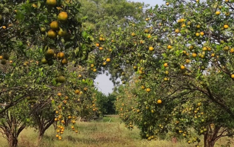
A farmer in Vidarbha makes a dozen decisions every week. Should I irrigate today or wait? Which rows of the orchard need a closer look? Is that yellowing in one corner a passing thing or the start of a problem? Most of these decisions are made on habit and guesswork. That is not because farmers lack skill. It is because nobody gives them information about their own field.
Weather forecasts cover a whole district. Advisories are written for a crop in general, not for one plot. By the time stress is visible to the eye, the damage has often begun. Meanwhile, high above every Indian village, satellites photograph each field every few days, and that data is free. VarshaKrishi was started to close that gap: to turn free satellite data into simple advice a farmer can use, for their own field, in their own language.
How it works for the farmer
The farmer does not need a sensor, a form or any new equipment. They open the app on their phone and tap their field on a satellite picture. That is all.
Within minutes, the system reads the last 18 months of satellite history for that exact field. It checks every satellite pass for cloud, measures how green the crop is, and compares the field with its own past and with the fields around it. A field that is falling behind its neighbours is usually the first sign that something needs attention.
After that, the farmer receives one short WhatsApp message a week, in Marathi, Hindi or English. Each message says what the satellite saw, what the weather says and what to check, along with the date and the source of the data.
A real example shows why this matters. On a 3.2-acre field near Katol in Nagpur district, the crop's greenness fell by 38 percent between 10 and 20 May 2026, while the fields around it fell by 22 percent. The field was losing ground faster than its neighbours. A weekly message would have flagged that field to its farmer early, with the advice to walk it and check, before the change was obvious from the bund.
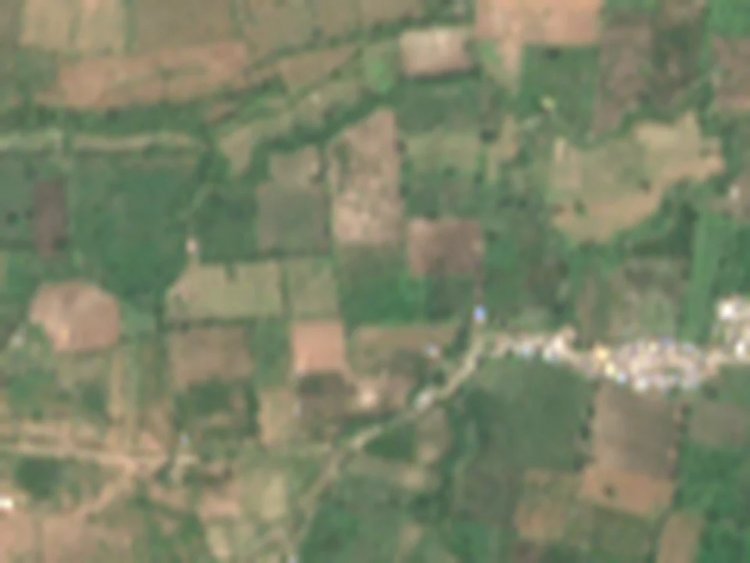
Farmland near Katol, Nagpur district, in true colour, 12 October 2026 (about 1.2 km across). Contains modified Copernicus Sentinel-2 data 2026, processed by VarshaKrishi.
The benefits for the farmer
Problems are noticed early. Comparing a field with its neighbours and its own history picks up stress before it is visible. The farmer is told which part of the field to walk, not just that "something may be wrong".
Better irrigation decisions. Rainfall for the farmer's area is compared with its 30-year normal, so the farmer knows whether this week was really dry for their land. That helps avoid both over-watering, which wastes water and electricity, and under-watering, which stresses the crop.
Advice they can trust. Every message carries its date and source. In the monsoon, clouds often hide a field from the satellite. When that happens, we say so plainly and use radar and weather data instead. We never send a made-up report. Farmers act on advice they can trust.
In their own language, on their own phone. No technical charts, no English-only PDFs. One short message in the farmer's language, under 300 characters.
No conflict of interest. We do not sell seed, fertiliser, pesticide or loans. The advice is never a sales pitch.
Free at the basic level. The weekly field watch is free for every farmer in India. Detailed decision support, such as when to irrigate and by when to act, is offered only for crops whose model has been reviewed by an agronomist. It can be paid for by the farmer, subsidised through a scheme, or sponsored by an FPO or partner organisation.
A record of their own field. Each farmer gets a one-page farm report with 18 months of history. It can be useful when talking to an agriculture officer, a bank or an insurer.
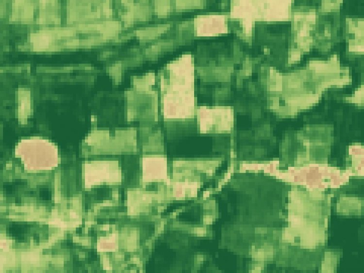
The same area shown as greenness (NDVI): darker green means a greener crop. Contains modified Copernicus Sentinel-2 data 2026, processed by VarshaKrishi.
Built openly, with Indian science
VarshaKrishi is a DPIIT-recognised startup based in Nagpur. I study Aerospace Engineering at IIT Kanpur and am an Entrepreneur-in-Residence (EiR) Fellow at the 5G/6G Centre of Excellence, FIRST, IIT Kanpur. Aerospace engineering taught me how much a satellite can see. VarshaKrishi exists to put that view in the hands of the farmer who owns the field.
We publish our methods and data openly. A full year of satellite readings for the Katol field is available free under an open licence. Our step-by-step tutorial for reading a single field from Sentinel-2 satellite data is listed as a usage example in the Registry of Open Data on AWS. We have also filed an Indian patent application, published in August 2026, for a method that uses one low-cost in-field reading to improve both irrigation and crop disease advice for every farm around it.
What comes next
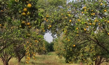
The first crop we are focusing on is the Nagpur orange, because orange growers in Vidarbha face high stakes with every irrigation and spray decision. We are now in discussion with farmer organisations and development groups to bring weekly field advice to smallholder clusters, and registration for the 2026-27 season is open.
For a farmer with two or three acres, the difference between acting this week and acting next week can decide a season. Every field already has a satellite watching it. Our job is to make sure the farmer hears what it sees.
(Tanmay Sahare is the founder of VarshaKrishi Udhyog Pvt. Ltd., Nagpur, a DPIIT-recognised startup)