Genesys International Corporation awarded Rs 46 crores for land titling project by Andhra govt
The project will make use of the company's recently launched Genesys Constellation, which is India's most comprehensive range of aerial, mobile and terrestrial sensors that converts everyday objects into data sources. The deregulation of geospatial space has provided the industry a significant boost, and it will enable companies like Genesys to better serve the public and private sectors.

 Join the RuralVoice whatsapp group
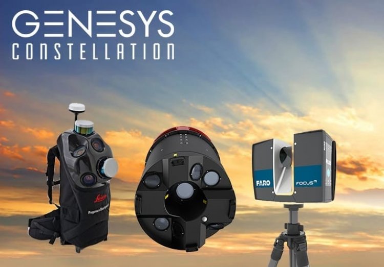
Mumbai
Genesys International Corporation, one of the leading homegrown players in the geospatial services sector, has won a Rs 46-crore project for resurveying with modern technology using the CORS network, GNSS receiver and aerial systems from the Andhra Pradesh government.
The project will make use of the company's recently launched Genesys Constellation, which is India's most comprehensive range of aerial, mobile and terrestrial sensors that converts everyday objects into data sources.
The deregulation of geospatial space has provided the industry a significant boost, and it will enable companies like Genesys to better serve the public and private sectors. Projects like land titling digitalization are examples of how the public sector is leveraging the latest technologies/initiatives enabled by the deregulation.
As part of the project, Genesys Constellation will demarcate residential zones, farms and other natural and infrastructural characteristics as well as property mapping and data digitization across the state. The project is planned to be finished this fiscal year.
Sajid Malik, Chairman and Managing Director of Genesys International Corporation Ltd, commented on the collaboration with the Andhra Pradesh government, saying, “We take great pride in our involvement in this important initiative that will modernize Andhra Pradesh’s land records and build a digital infrastructure. For Genesys, key digital infrastructure layers is one of our key focus areas and we are aggressively working with stakeholders to solve their pain points.”
Malik added, “Accurate land titling is a crucial need of the country to establish clear ownership of property in rural inhabited (abadi) areas by mapping land parcels and providing a ‘Record of Rights’ to village household owners. The property owners are issued legal ownership cards (property cards/title deeds) after ascertaining the plot boundaries accurately.”
“The resurveying is enabled by the sensors in the Genesys Constellation that provide the biggest swathe in the world, which is generated by a single frame that captures more than 25000 pixels. Due to its capacity for acquiring highly accurate data sets at high speeds, it will be able to reduce long-standing problems with land titling and the ensuing legal issues with land records, which obstruct the acquisition of land for numerous infrastructure projects and present serious difficulties,” Malik also said.
Genesys, which has partnered with companies like Google, ESRI and Bentley to launch services such as ‘Street View’ and ‘3D City Digital Twin Solution’, is hopeful that this initiative will further gain momentum in other Indian states and usher in an era of modernization in land recording.