El Niño Likely Until May, Super El Niño Signs By August, Likely To Impact Indian Monsoon
Meteorological models suggest that El Niño may develop in the Pacific Ocean by May and strengthen by August, potentially affecting India’s southwest monsoon. The final impact will depend on how El Niño interacts with other climate systems such as the Indian Ocean Dipole.

 Join the RuralVoice whatsapp group
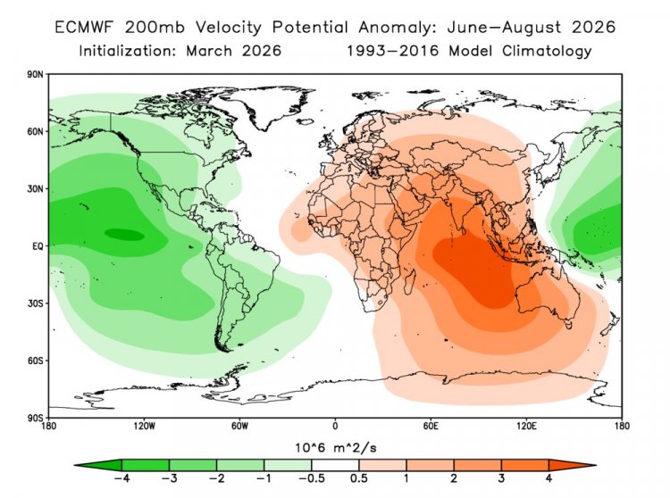
India has begun experiencing rising temperatures unusually early this year, with heat intensifying since the beginning of March. Maximum temperatures in several states have already crossed 40°C, which is about 5 to 10 degrees above normal for this time of the year.
Meteorologists attribute the early heat to weak western disturbances, and the likelihood of El Niño developing this year is also increasing. El Niño, which refers to a rise in sea surface temperatures in the Pacific Ocean, has the potential to influence weather patterns across the world, including India’s monsoon.
Last week, the World Meteorological Organization (WMO) indicated a slight probability of El Niño conditions developing. Now, forecasts by the European Centre for Medium-Range Weather Forecasts (ECMWF) suggest that El Niño could become active in the Pacific Ocean by May and strengthen further by August.
According to ECMWF ensemble model projections, there is a 22 percent probability of a “super El Niño,” an 80 percent chance of a “strong El Niño,” and a 98 percent probability of a “moderate El Niño.” The likelihood of El Niño forming between May and July this year has been estimated at around 40 percent. However, scientists caution that these are preliminary projections and could change in the coming months.
Weather experts say the current La Niña phase is gradually weakening, while sea surface temperatures in the Pacific Ocean are rising. This transition is often a precursor to the formation of El Niño. Two years ago, El Niño conditions contributed to drought in several parts of Southeast Asia and were also linked with record-high global temperatures.
Possibility Of A ‘Super El Niño’
El Niño could eventually intensify into a super El Niño, according to ECMWF projections. Meteorologists note that the trade winds, which normally blow from east to west across the Pacific Ocean, are currently weakening. At the same time, winds flowing from west to east are strengthening.
This shift is allowing warm water accumulated in the western Pacific to move eastward, raising sea surface temperatures in the central and eastern Pacific and potentially triggering stronger El Niño conditions.
The overall impact of El Niño depends on the interaction between ocean temperatures and atmospheric circulation. Changes in sea surface temperatures can alter weather patterns across the globe. For instance, parts of South America may experience heavy rainfall, whereas several regions on the opposite side of the Pacific may experience drought-like conditions.
Impact On The Indian Monsoon
El Niño typically weakens the southwest monsoon in India and, in some cases, can contribute to drought conditions. However, meteorologists point out that its impact is not always uniform.
If the Indian Ocean Dipole (IOD) develops alongside El Niño, it can partially offset its negative effect on the monsoon. A similar situation occurred in 1997–98, when despite the presence of El Niño, India recorded a better-than-normal monsoon.
Weather scientists say that a positive IOD played a significant role in balancing the influence of El Niño during that period. The interaction between these climate systems will therefore be crucial in determining the strength and distribution of this year’s monsoon rainfall.